
Dates / Project duration
January 2018 - January 2021 / 37 months
Development of marine protected areas
Monaco

Localisation
Office de l’Environnement Corse
?©Jim-Beaudoin
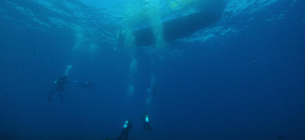
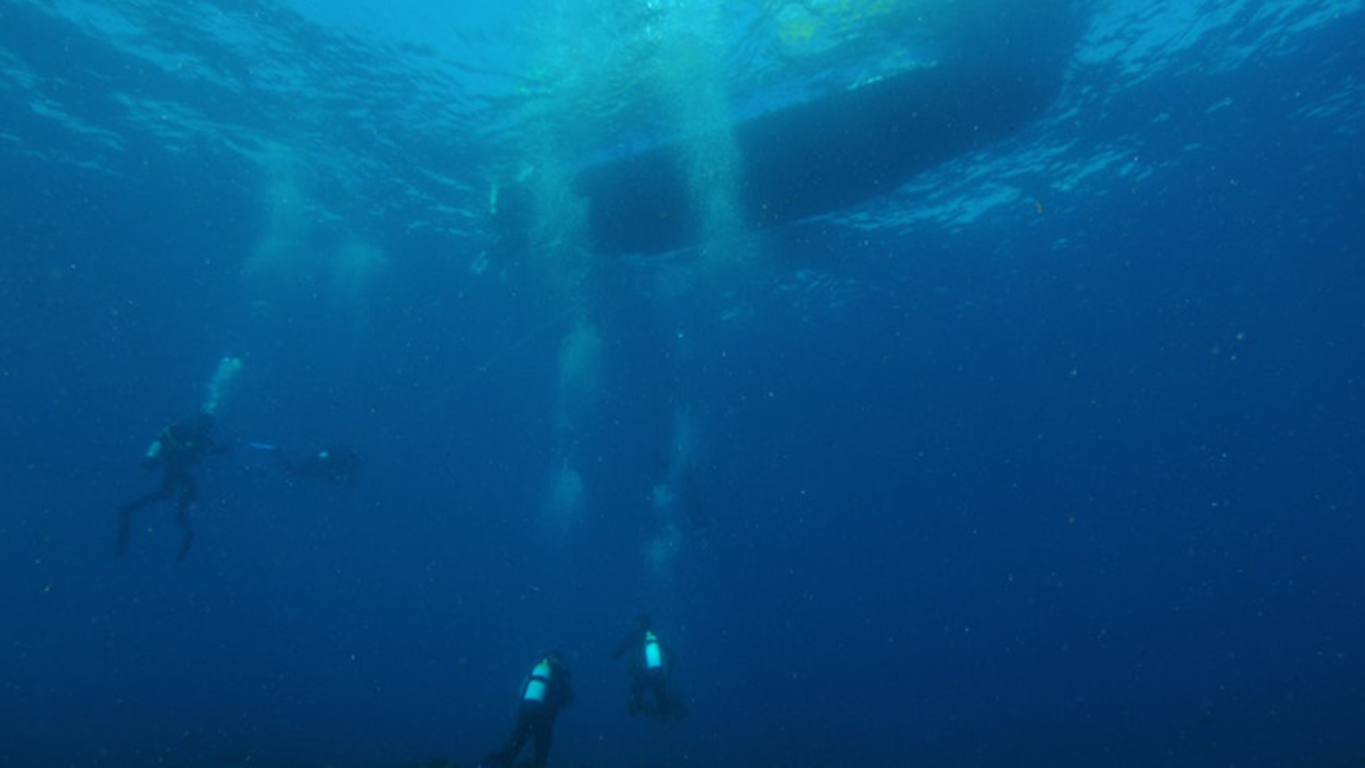
Posidonia meadows are found almost all around Corsica covering a surface area of 55 230 ha. Two Posidonia meadow monitoring networks have been set up in Corsica: the RSP (Réseau de Surveillance Posidonie) and the TEMPO network (Monitoring of Posidonia meadows using acoustic telemetry). On the Natura 2000 Grand Herbier site on the western coast, these networks enable 6 sites to be monitored (4 by RSP and 2 by TEMPO):
- 3 lower limits of the meadow south of Campoloro, in Bravone and in front of the Diana pond
- 3 upper limits: Biguglia, Campoloro and Fium'orbu.
In anticipation of measures to assess the sound ecological status of the habitat which have been called for at European level, the aim of this action is to use the 6 existing monitoring sites, where the boundaries of the lower and upper limits have been delineated, to continue to monitor any developments to the vitality and state of conservation of the Posidonia meadows every 3 years.
Furthermore, the status of conservation of Posidonia meadows in other areas is be monitored with more accurate mapping (different from those monitored by RSP and TEMPO):
- Anchorage areas around caves for pleasure boats (Furiani to Lucciana),
- Anchorage areas around the oil depot (Lucciana),
- Trawling areas in la Marana, opposite Taverna Port and between Aleria and Sulenzara,
- Piling areas in Taverna Port.