
Dates / Project duration
June 2018 - March 2023 / 58 months
Development of marine protected areas
Monaco

Northeast of the South Pacific Ocean
University of Oxford
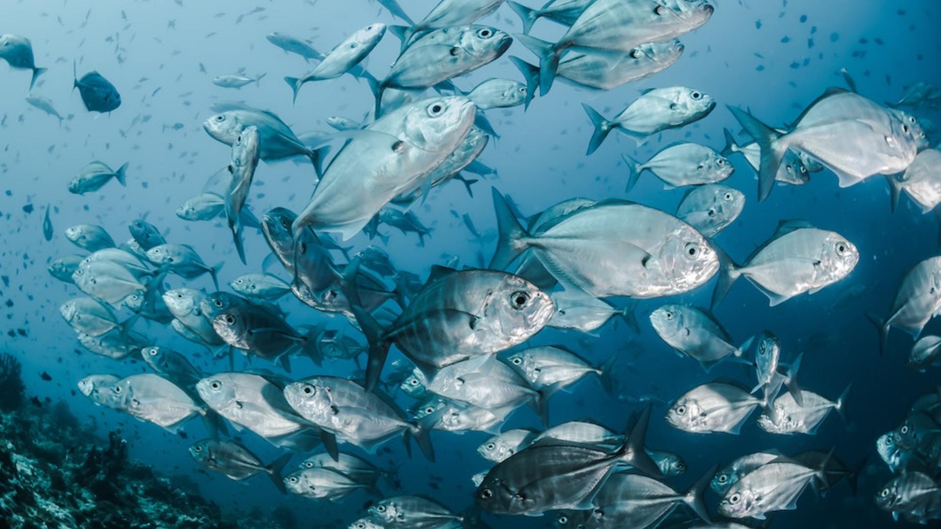
?The World Bank estimates that the cost associated with the mismanagement of fisheries is approximately 83 billion dollars per year. This estimation is based exclusively on the loss of fisheries’ yields due to overfishing and the collapse of stocks and does not take into account the broader impact of fisheries mismanagement such as loss of biodiversity and habitat destruction. Overfishing has led to a degradation of the entire food chain in the marine ecosystem at global scale. The gradual elimination of predators including tuna through targeted fishing and by-catches has had a dramatic effect on many marine species.
Illegal and unreported fishing alone is thought to represent 20% of the total catch of fish worldwide. It thrives in conditions of poor governance and we can expect it to persist in high seas fisheries as long as the monitoring of vessel activity remains very low.
The periodic or permanent closure of some ecologically defined marine areas are essential tools to manage fish stocks. Allowing for the regeneration of stocks is essential for maintaining a balance in the marine ecosystem.
The application of spatial protection measures, whether for fishing or biodiversity conservation, is limited by the monitoring of their implementation. This situation is all the more of concern for the high seas where no comprehensive legal framework currently exists for the creation of marine protected areas. The context generates inertia in the implementation of appropriate governance and regulatory frameworks.
The project will provide satellite monitoring of
fisheries in a high seas area, and a legal assessment regarding the use of satellite data which will fill the gaps in the application of maritime laws.
The project consists of three components:
- A satellite monitoring study will explore the consequences of closing a high seas tuna fishery and the behaviour of fish stocks in this area;
- A legal assessment will examine the legal obstacles to using satellite data for application in the marine sector; The development of this monitoring model on a global scale.
The aim of this project is to demonstrate the feasibility of implementing a monitoring system for high seas fisheries and marine protected areas in order to avoid past mistakes and rebuild a healthy ocean ecosystem in accordance with international recommendations.